
Eyes in the Sky for Aquaculture Farmers: Location Scouting Using Satellite Data
May 14, 2025 | 1 min to read
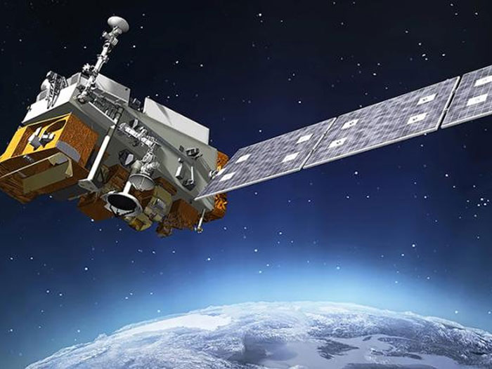
Scientists at NOAA Fisheries and CoastWatch leverage remote sensing technology for aquaculture.
When you’re looking to start an oyster farm, there are a lot of environmental factors to consider. How cold is the water? What kinds of algae are found there, and how abundant are they? How do weather and water conditions change throughout the year? All of these factors influence how fast an oyster can grow, how much they have to eat, their likelihood of survival—and your farm’s bottom line.
Determining these factors and finding the best farm location can take a great deal of time and money. However, using satellite data, a dedicated team of researchers aims to help aquaculture growers.
NOAA’s National Environmental Satellite Data and Information Service’s CoastWatch and NOAA Fisheries partnered to adapt a new satellite-derived Habitat Suitability Index to identify productive regions for seafood farming. Using satellite imagery, they can collect data on a number of water quality parameters quickly and efficiently.
To read more, please visit NOAA.